Friday, October 29, 2010

Oct 28, 2010 - Meiss Lake, Carson Pass


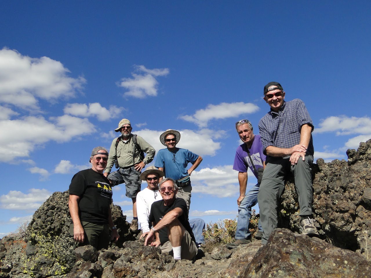
10 Geezers hiked to Meiss Lake near Carson Pass on Route 88. This, after the many reasons not to make the hike came up earlier in the week due to the possibilities of snow, rain and freezing temps. We had to decide whether to hike the ridge or Meiss Valley etc. The weather was great for the hike, in the 30-40's, but the wind was blowing in gusts that seemed to be around 25-30 MPH. All were dressed for the tempature and wind - gloves, hats and layered clothing. There was a lot of snow and ice on the trail and surrounding areas.

The first 1.25 miles of the trail were up hill to a small lake at the summit above Meiss Valley. The trail was generally wet and muddy. The next 0.5 mile was down hill to the valley floor. Lunch was at the Meiss family compound- home, barn and corral. After lunch the group headed for Meiss Lake - about another 2 miles to the north between the Pacific Crest Trail and the Tahoe Rim Trail. No trail was found from either of these two trails to the lake so the hikers went cross country about a half mile to the lake. Several Bear foot prints were seen in the snow patches. The return hike to the family compound was all cross country on the eastside of the meadow. Total distance for the hike was 9.5 miles.

On the return hike the group met "Dan from Evanston Illinois" on the side of the trail, about 0.25 mile from the parking lot/trailhead. Dan was suffering from hypothermia/frostbite and didn't seem fully coherent. He was underdressed (sneakers for shoes, lightweight pants and jacket, a blanket over his shoulders and no gloves or hat) and had a very heavy backpack. He had been in the area for 4 days, through rain and snow storms, had not eaten for 2 days and had been eating snow for drinking water. The group gave him some food and water, gave him some hiking sticks, carried his backpack and took him to the trailhead. 911 was called and several emergency vehicles and personnel showed up and took over caring for Dan. Dan was put into an ambulance and taken to a hospital.


Friday, October 22, 2010

21 Oct, 2010 - El Dorado County Bike Trail


The Geezers rode their bikes on the El Dorado County bike trail (2 sections) in the vicinity of Placerville. Ten Geezers were in attendance: Merrill, Loren, Larry, JD, Glenn, Roland, Sherm, Vern, Beuford and John. The first section was from the old train station on Mosquito Road to the freeway property fence near Camino. Distance was about 6.5 miles- all up hill at about 3% grade. The first 5 miles was paved and the last 1.5 was graded dirt and railroad ballast rock. Those with road bikes stopped at the end of paving and waited for the return of those with mountain bikes who rode to the end of the path and the freeway fence. The 6.5 mile ride back to the start was fantastic- no pedaling! No injuries reported- but there were a few sore thighs and overworked lungs. Vern was handicapped by a rear brake shoe rubbing on the tire rim- but was the first one back to the trucks parked at the station. Now the rest of the story, he put his bike in the bed of a stranger's truck thinking it was one of ours. Fortunately for Vern the Geezers returned before the stranger did and drove off with Vern's bike- although the stranger would have to fix the brake problem, and Vern would have to upgrade to a new bike.

After lunch of double cheeseburgers at In-N-Out Burger, the second section was ridden- Missouri Flat Road to Forni Road. Parking was at Wal-mart, across the street from the bike path (there is a parking lot at the trail head but it was not known until we passed it on our bikes). This section was paved and on an old railroad roadbed which included a fantastic trestle crossing a very deep canyon. The trestle was the low point in the bike path with both ends of the path (Missouri Flat and Forni Rds.) higher in elevation. Both climbs from the trestle to the ends were not very steep and easy to ride. The length of the section was about 2.5 miles. Geezer event critique and next week's planning event was conducted at the Dairy Queen on Greenback.


Friday, October 15, 2010

Oct 14, 2010 Thunder Mountain


Eight Geezer Boyz, (Merrill, Larry, John, Rod, Bill, Sherm, Beuford and Vern)- made the hike to Thunder Mt.- well seven made it to the top of the mountain while Beuford stayed below the final accent to watch over the equipment left behind. Vern Tapp joined up with the Geezers for the first time and ended up being one of the two carpool drivers- Sherm being the other driver. The first 1.5 miles of the hike was up hill and behind the snow deflectors above Rte. 88 below. The next mile was a very gradual climb along the ridge that over looks Kirkwood ski area and skirts around some fantastic rock formations, the next mile or so was the up hill accent to the top of Thunder Mt. The total hike length was about 6.5 miles. Weather was great- in the 60's and blue skies with puffy scattered clouds. Most of the wildflowers were dead but their presence indicated that this would be a good wildflower hike next spring. Driving mileage was 85 miles from Sunrise Church to the trailhead. No injuries to report, except for a heel blister on Merrill's foot which duct tape was used for post traumatic protection


For Rod's video, copy this link:
www.youtube.com/watch?v=KlwreIE8t1g