Thursday, January 20, 2011

Jan 20, 2011 - American River South Fork Loop

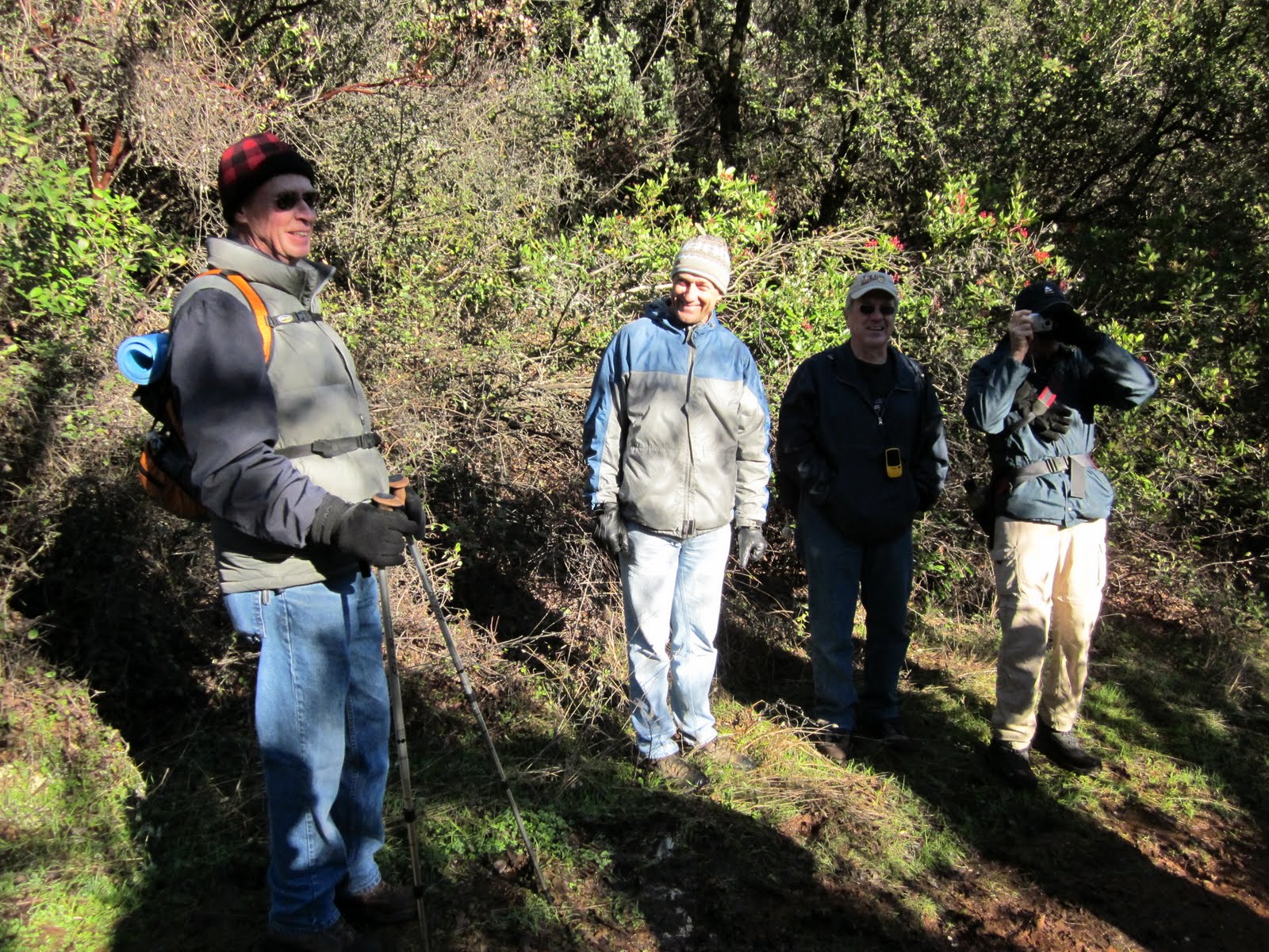
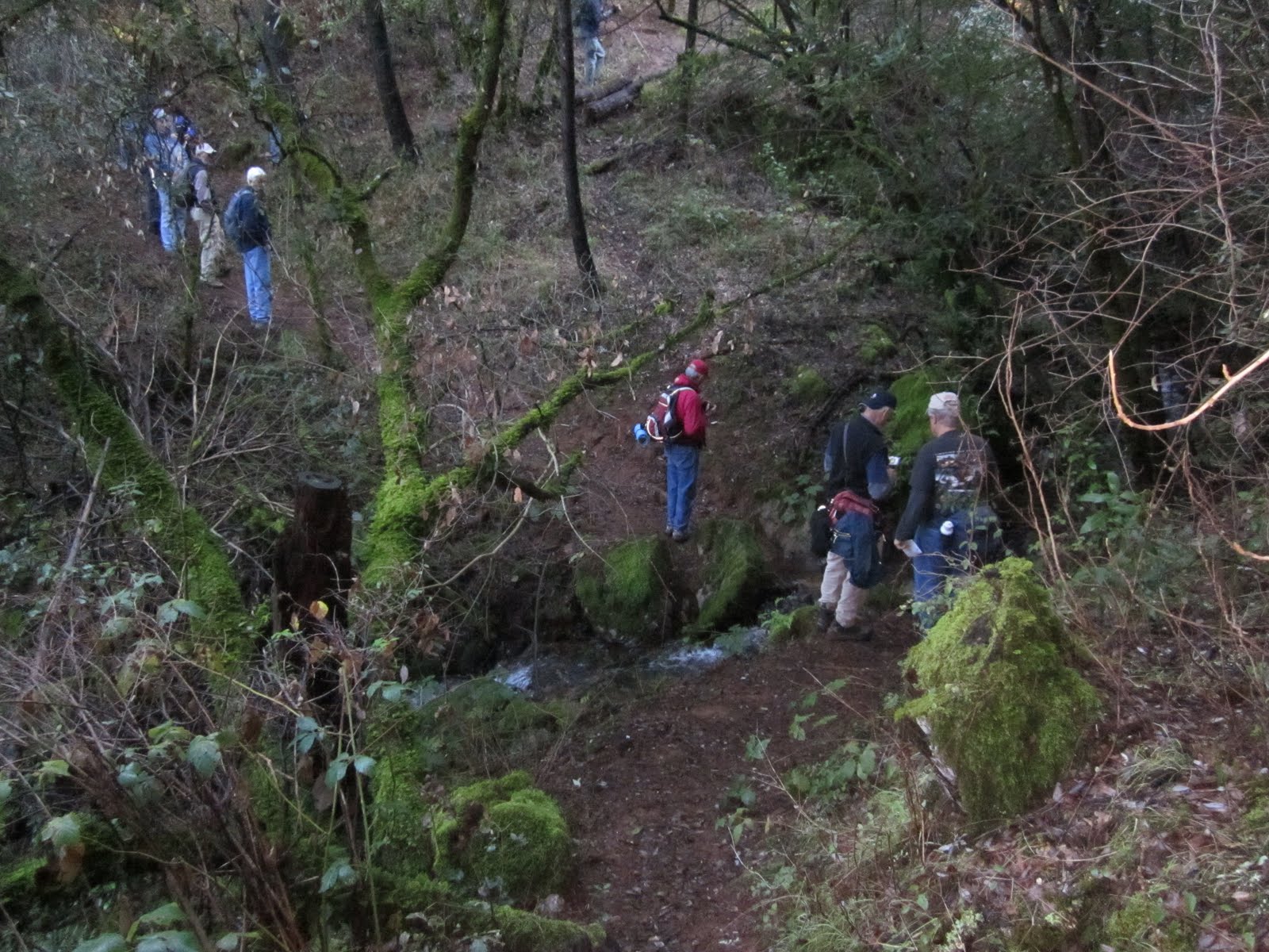
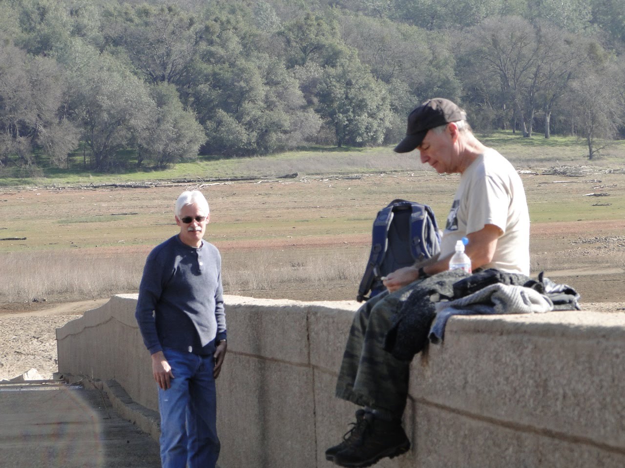
Thirteen Geezers hiked a loop along the south fork of the American River as it empties into Folsom Lake. We started at the western trailhead on Salmon Falls Road (as it crosses the south fork of the American River), and hiked along the north side of the lake/river, crossing the lake/river at the old Salmon Falls Road bridge that is usually underwater except for this time of year. We stopped for lunch at the old bridge, threw rocks like little boys then returned to the trailhead on the south side on the lake/river. The hike was moderately easy and about 7 miles long.
For future use: The Sac Bee publishes the amount of water in Folsom Lake daily. Presently it is shown as 415,000 acre feet. This figure can be used in future hikes to gauge if the old Salmon Falls bridge is out of the water and can be used for crossing. This week we welcomed Vello Aaring and Loren Snell to our happy band of Geezer Boyz!
Because the weather was so warm and sunny, we have more than our usual number of photos thanks to Rod, John, Loren (G) and Glenn. Enjoy our day......




Thursday, January 13, 2011

Jan 13, 2011 - Snowshoeing at Donner Lake

The Geezers set out today at 8am for a snowshoeing adventure at Donner Lake. This is a flat area that we use to get into shape for more adventurous snowshoe hikes in the coming weeks. This adventure was rated as easy and enjoyable for all. Unfortunately, we did encounter lots of unexpected rain by the time we reached the lake. After a group consult, we decided to head back to the cars and make for the warmth of McDonald's to eat our sandwiches along with the purchase of french fries and coffee etc. We returned home much earlier than expected so we (well some of us) were able to help our wives with afternoon chores!! Thanks to John Hebner for the photos this week.


Thursday, January 6, 2011

January 6, 2011- Auburn Ravine Trails


This week's Geezer event was a hike in Auburn Ravine area- Cool/Western States/Brown's Bar/Quarry Trails. The hike was rated as moderately easy. Moderate because it was supposed to be around 8/9 miles, but easy, because it was supposed to be 95% downhill. (I have e-mails stating this!).
In reality it was almost 10 miles long, and my guess would be 50% up hill and 50% downhill. Once again the powers that be (I love 'em all) miscalculated, but it was a great hike and enjoyed by all. The recent heavy rains washed out parts of the trails so you will see from a couple of photos that we constantly lost the trail and had to improvise. The weather was great as we were above the valley the fog line. Photos by Roland, Loren and Rod.