Thursday, January 20, 2011

Jan 20, 2011 - American River South Fork Loop

Thirteen Geezers hiked a loop along the south fork of the American River as it empties into Folsom Lake. We started at the western trailhead on Salmon Falls Road (as it crosses the south fork of the American River), and hiked along the north side of the lake/river, crossing the lake/river at the old Salmon Falls Road bridge that is usually underwater except for this time of year. We stopped for lunch at the old bridge, threw rocks like little boys then returned to the trailhead on the south side on the lake/river. The hike was moderately easy and about 7 miles long.
For future use: The Sac Bee publishes the amount of water in Folsom Lake daily. Presently it is shown as 415,000 acre feet. This figure can be used in future hikes to gauge if the old Salmon Falls bridge is out of the water and can be used for crossing. This week we welcomed Vello Aaring and Loren Snell to our happy band of Geezer Boyz!
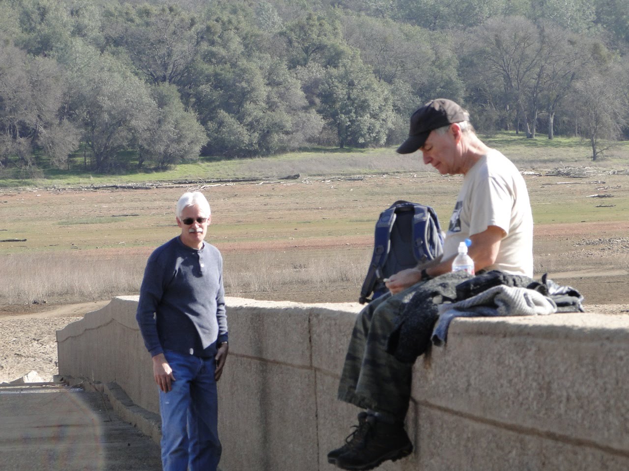
Because the weather was so warm and sunny, we have more than our usual number of photos thanks to Rod, John, Loren (G) and Glenn. Enjoy our day......


No comments:

Post a Comment